Power System
The UK Digital Twin supports queries across number of aspects of the UK energy related infrastructure, including the electrical power system, the gas transmission system and land use.
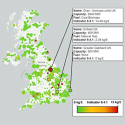
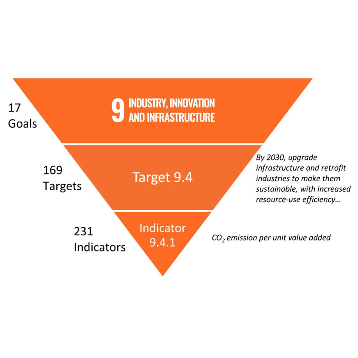
The Knowledge Graph based architecture of the Digital Twin allows to address cross-domain geospatial questions. The image to the left shows an example that estimates the emissions intensity of each power generator in the UK. Each dot on the figure on the left corresponds to a generator, with the size of the dot corresponding to the capacity of the generator and the colour of the dot corresponding to the value of the estimated emissions intensity. In this example, the emissions intensity is calculated at the mass of carbon dioxide emitted per unit value of electricity generated and serves as a proxy for Indicator 9.4.1 of the UN Sustainable Development Goals (see right).
The map below shows a sample of the power system data in the UK Digital Twin.
 |
 |
 |
| CMCL Innovations cmclinnovations.com |
Computational Modelling Group como.ceb.cam.ac.uk |
Cambridge CARES cares.cam.ac.uk |


